Spain s Galicia Region Bets on AI and Satellites Against Megafires
Usagevpn.com – Spain s Galicia region bets big on cutting-edge technology to combat the growing threat of summer megafires. Following Europe’s most devastating wildfire season on record in 2025, which consumed over 1,079,000 hectares across 25 EU member states, Galicia has launched an ambitious €213 million initiative. This comprehensive strategy combines artificial intelligence with satellite monitoring to revolutionize wildfire detection and management in one of Europe’s most fire-prone regions.
Record-Breaking Fire Season Sparks Innovation
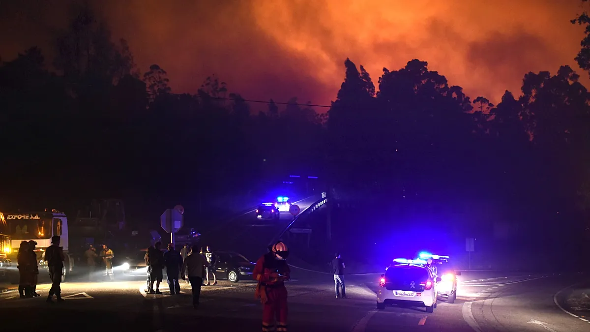
Last year marked Galicia’s most destructive fire season in decades, with wildfires consuming more than 118,000 hectares—an area larger than Berlin. These unprecedented blazes earned the designation “megafires,” with the Larouco fire in Ourense province standing as the largest single blaze ever recorded in the region. The combination of dense forest coverage, an aging rural demographic, and widespread land abandonment has historically positioned Galicia alongside Portugal and Greece as one of Europe’s most vulnerable areas to fire disasters.
Spain s Galicia region has responded with a technological framework centered on Xeocode, its internal fire management platform. Enhanced with convolutional neural networks designed to recognize visual patterns in imagery, these AI systems continuously analyze feeds from 241 surveillance cameras strategically positioned throughout high-risk parishes. Satellite data supplements this ground-level monitoring in certain locations, creating a comprehensive early warning system.
Compressing the Detection Window
The fundamental objective driving this technological overhaul involves compressing the critical window between fire ignition and detection. Currently, this interval spans several hours, but the new system aims to reduce it to mere minutes. A fire captured within its initial moments can typically be contained to a limited area, whereas an undetected blaze burning through the night or in isolated valleys may expand across thousands of hectares before emergency response teams arrive.
Two years of pilot testing demonstrated remarkable results, showing the AI system could identify fires from distances exceeding 15 kilometers under normal conditions, extending to 25 kilometers during favorable weather. When potential matches are flagged, automatic alerts are dispatched to technicians who verify the information before deploying response crews.
“The changes were designed to adapt to the new types of fires of enormous intensity seen in recent summers,” explained regional president Alfonso Rueda during his presentation of the updated prevention plan, according to Galicia Press.
Continental Satellite Revolution
Galicia’s initiative reflects a broader continental transformation in wildfire management. Greece has emerged as a pioneer in this space, becoming the first nation to incorporate a dedicated satellite constellation into its national firefighting infrastructure. Four nanosatellites, each compact enough to fit in carry-on luggage and manufactured by German firm OroraTech, survey the Greek landscape twice daily. Equipped with thermal sensors capable of identifying blazes as small as four meters in diameter, these satellites transmit AI-processed information regarding location, magnitude, and intensity directly to national command centers.
This sophisticated approach also incorporates filtering mechanisms to eliminate false positives. The systems can distinguish between genuine fires and potential confounders such as sun-heated rock surfaces, photovoltaic installations, or overheated industrial rooftops before alerts reach emergency personnel.
Portugal, which has experienced the greatest cumulative burnt area among European nations over the past twenty years, has similarly begun incorporating satellite-based detection into its national response framework. As southern European countries increasingly adopt this integrated combination of ground cameras, orbital satellites, and machine learning algorithms, Spain s Galicia region bets that its €213 million investment positions the region at the forefront of this technological evolution ahead of the high-risk season that commenced on July 1.