Aerial Footage Reveals the Scale of Spain’s La Mierla Wildfire
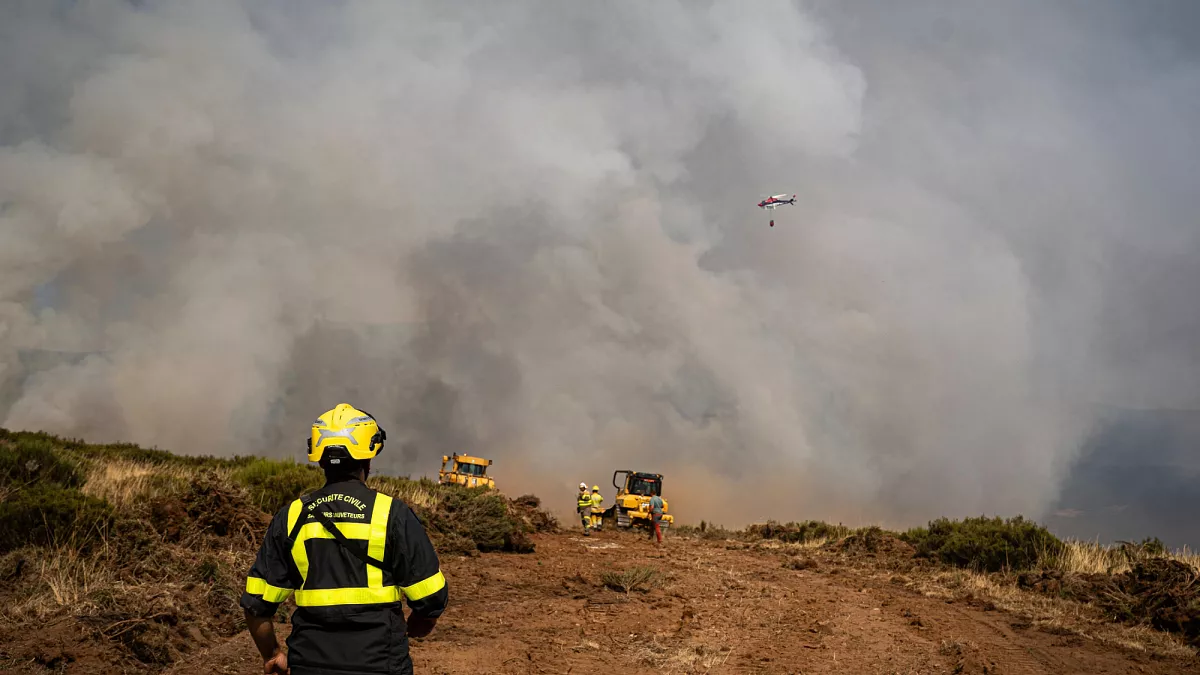
Usagevpn.com – Aerial footage reveals the scale of one of Spain’s most devastating wildfires this summer. Captured by the Guardia Civil and the Spanish Air and Space Force, these stunning images document the La Mierla wildfire burning in Guadalajara province, located in central Spain. The dramatic visuals show thick plumes of smoke rising above hillsides that have been completely blackened by intense flames. Helicopters can be seen flying directly above the fire zone, providing a bird’s-eye view of the vast area affected by this catastrophic blaze.
Massive Firefighting Operation Underway
The La Mierla wildfire has now been burning for six consecutive days, despite an enormous firefighting effort involving more than 600 firefighters and military troops. This comprehensive operation includes 29 aircraft working tirelessly to contain the flames and protect surrounding communities. The aerial footage clearly demonstrates the coordination between ground crews and air support as they battle the increasingly difficult conditions.
According to official reports, this represents one of the most challenging wildfires that Spanish authorities have faced in recent years. The fire has consumed more than 26,000 hectares of land, though some official estimates place the total affected area at approximately 30,000 hectares. This massive destruction has forced the evacuation of around 1,200 local residents who have been relocated to safer areas north of Madrid.
The aerial perspective provides crucial insights into the fire’s progression and helps emergency services make real-time decisions about resource allocation and evacuation routes.
The captured aerial footage reveals the scale of destruction across multiple landscapes, from dense forests to open countryside. These images have been instrumental in helping meteorologists and fire experts understand how wind patterns and terrain are influencing the fire’s spread. The footage shows how the flames are moving through different vegetation types, creating varying levels of intensity across the affected region.
Local communities continue to face significant challenges as the firefighting operation extends into its second week. The combination of high temperatures, dry conditions, and strong winds has created an environment where the fire can rapidly expand. Emergency services remain on high alert, with additional resources being deployed to support the ongoing containment efforts.
As the situation develops, the aerial footage continues to provide valuable documentation of the wildfire’s impact. These visual records will be essential for assessing the long-term effects on the region’s ecosystem and planning future prevention strategies. The comprehensive coverage from both ground and air operations demonstrates Spain’s commitment to managing this significant environmental crisis effectively.